
Osprey
Unmanned Aerial Solutions


About Us
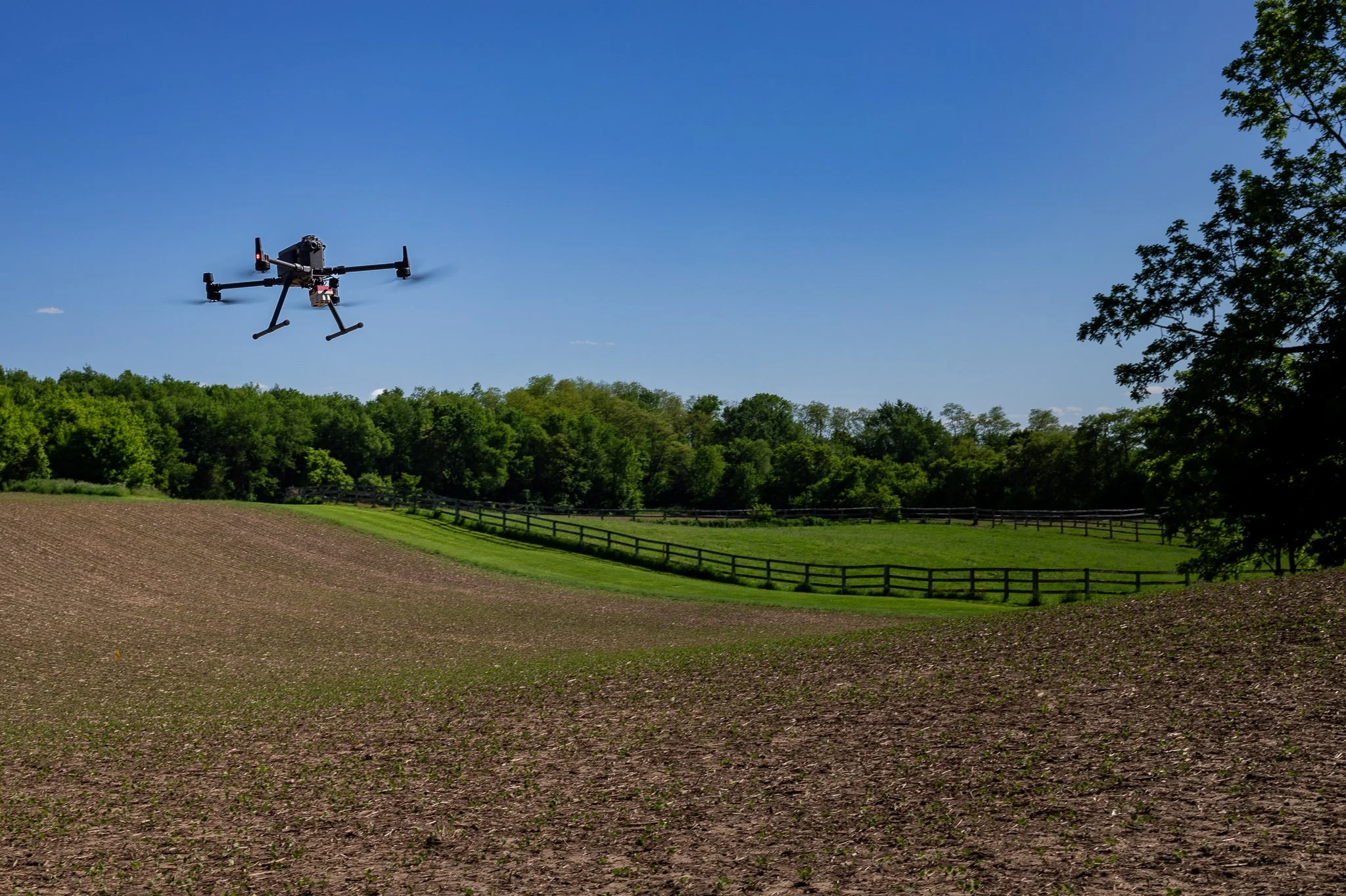
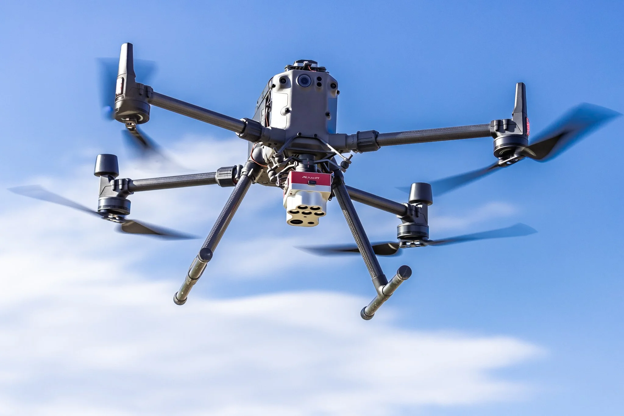
We specialize in developing customized aerial data collection solutions that meet our clients' exacting requirements and specifications. At Osprey UAS, we're poised to tackle the most challenging data collection contracts, leveraging our extensive network of seasoned pilots and diverse array of state-of-the-art equipment. Our teams thrive in any environment and under any conditions.
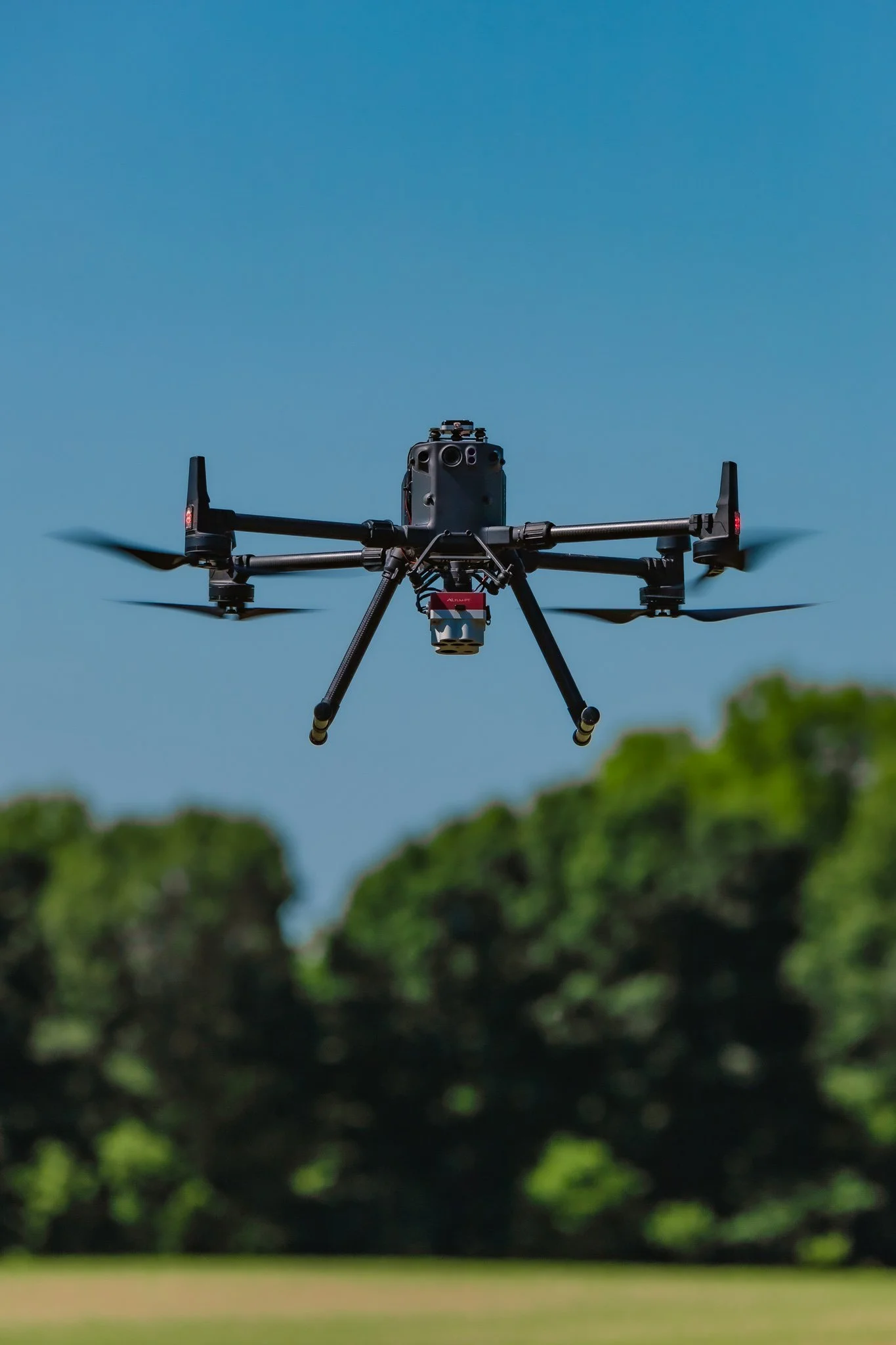
Our Capabilities
-

LiDAR Sensing
-

NDVI Sensing
-

Thermal Sensing
-

RGB Sensing
Industries We Serve
At Osprey UAS, our mission is to deliver top-notch precision aerial data collection services to our clients nationwide. To achieve this, we are committed to tirelessly striving for Osprey UAS to lead the aerial intelligence industry.
-
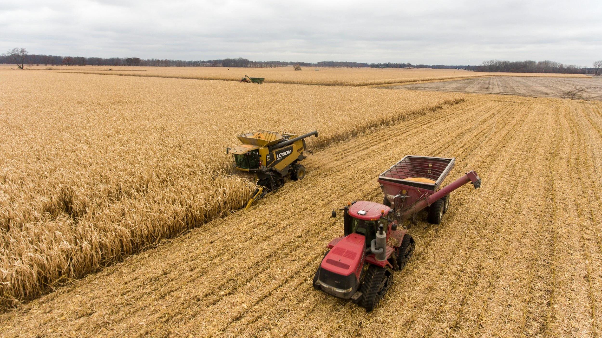
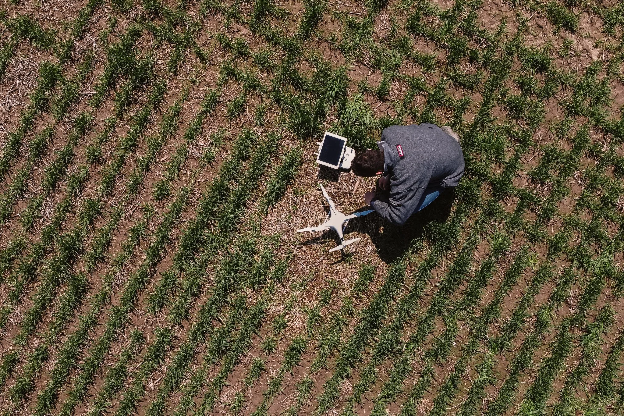
Precision Agriculture
By utilizing multispectral sensors, farmers gain essential insights to effectively respond to changes in the health of their tree and row crops. Our aerial imaging services offer comprehensive data on your crops' current and future health, ensuring optimal yield and profitability. We monitor soil condition, fertilizer and irrigation usage, pest infestation, plant and weed count, and more.
-
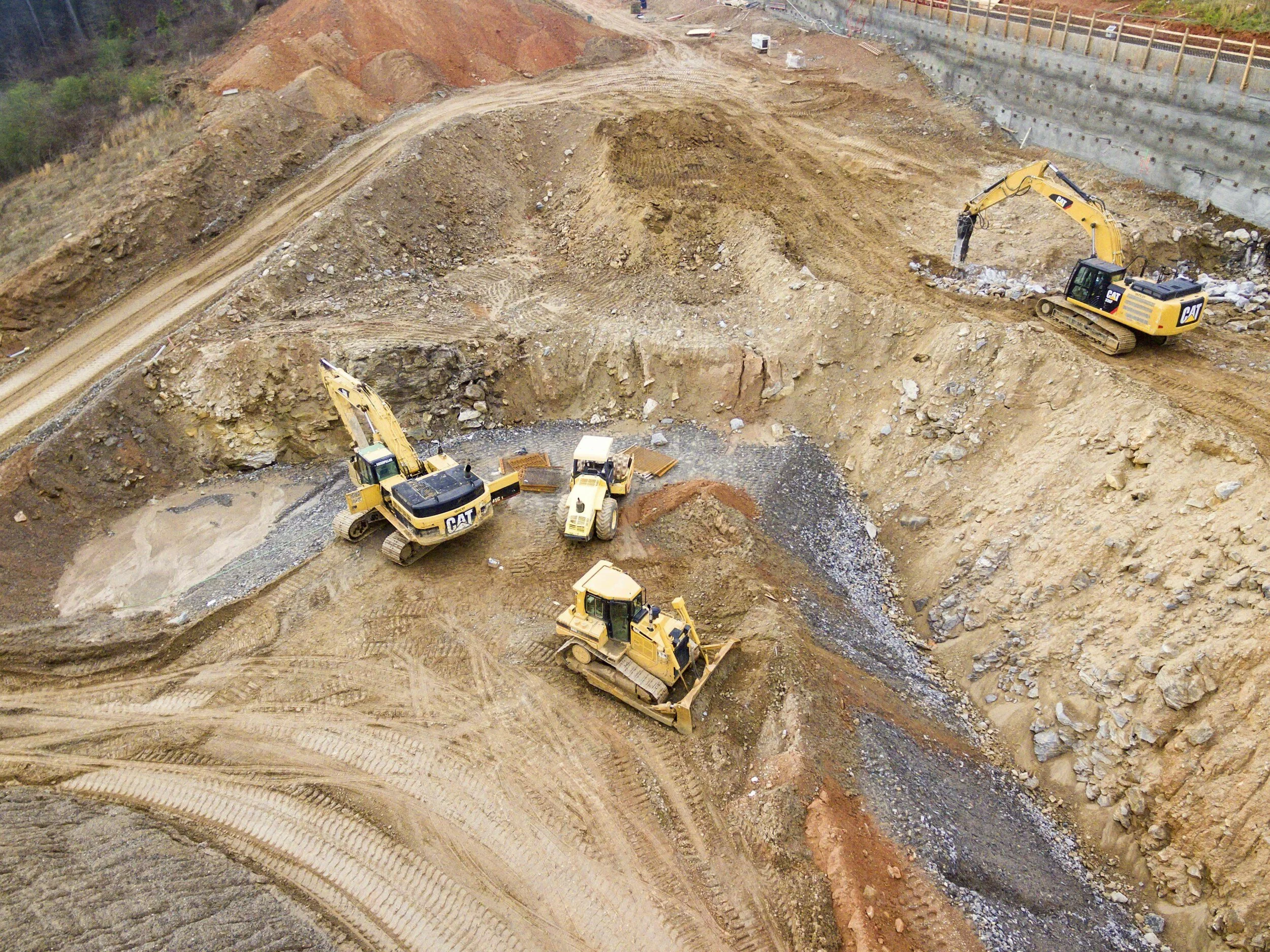
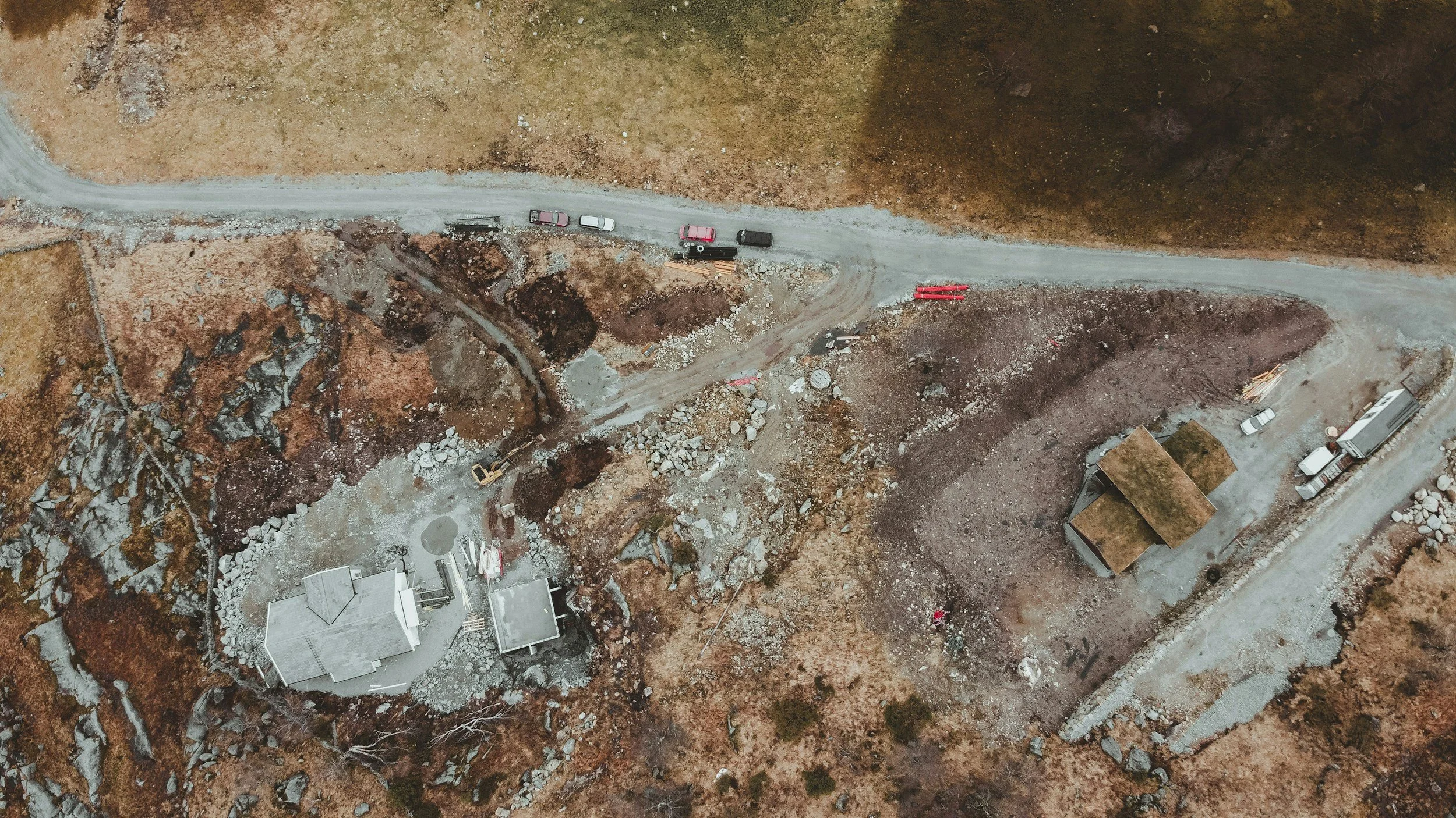
Construction Progress
From ortho-rectified imagery to 3D models, our services empower developers to analyze and track site progress, enabling informed decisions and cost reduction. Our aerial data ensures accuracy for on-site material tracking and adherence to drawing plan standards. Project managers can leverage this data to ensure developments meet their standards and integrate 3D models for investor showcases.
-
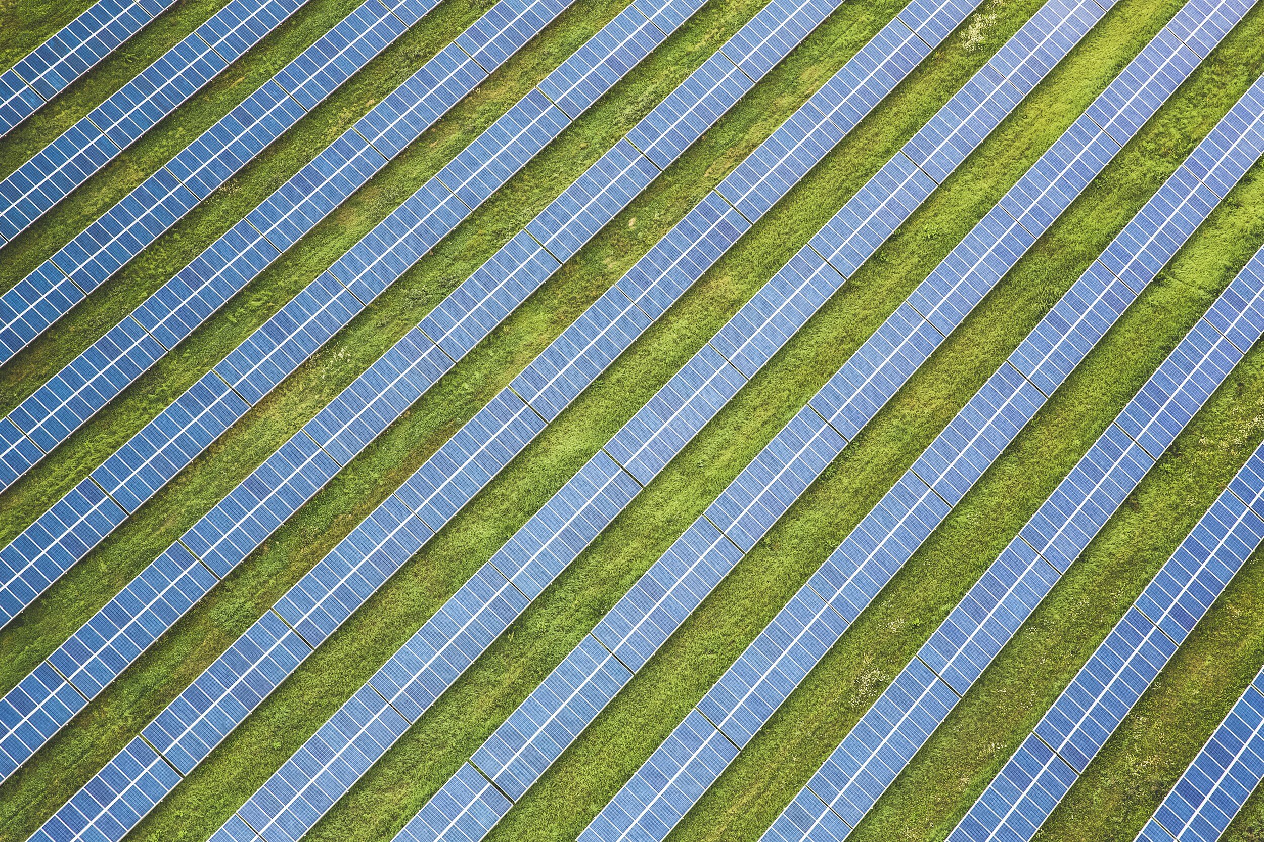
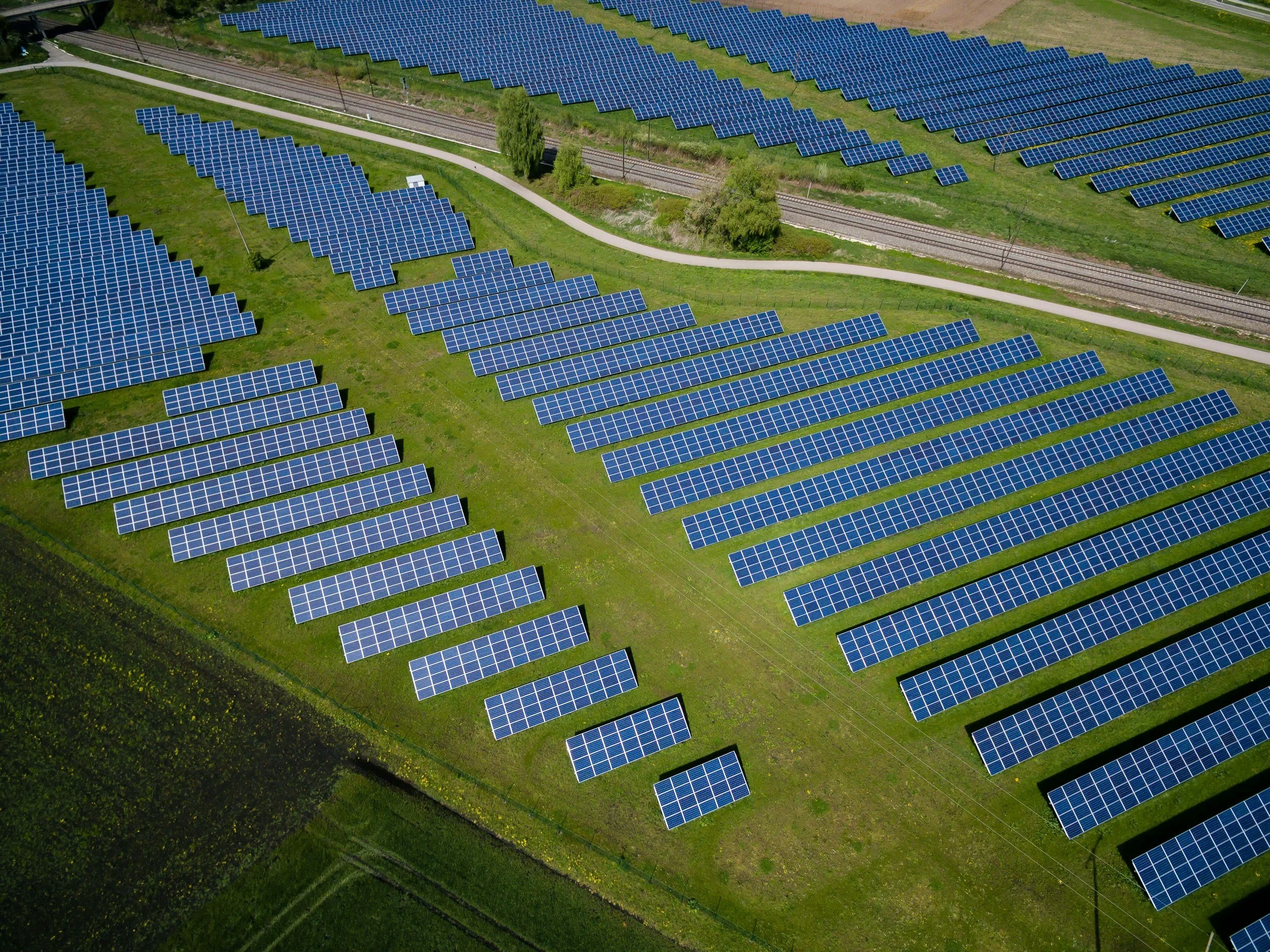
Renewable Energy
Wind and Solar Farm Inspections are among the comprehensive services our company offers. We conduct detailed visual inspections of entire systems and individual components.
Common applications include detailed rotor blade inspections, environmental impact assessments (corrosion, delamination, etc.), site perimeter inspections, vegetation growth monitoring, turbine structure wear and tear inspections, and site access route surveys.
-
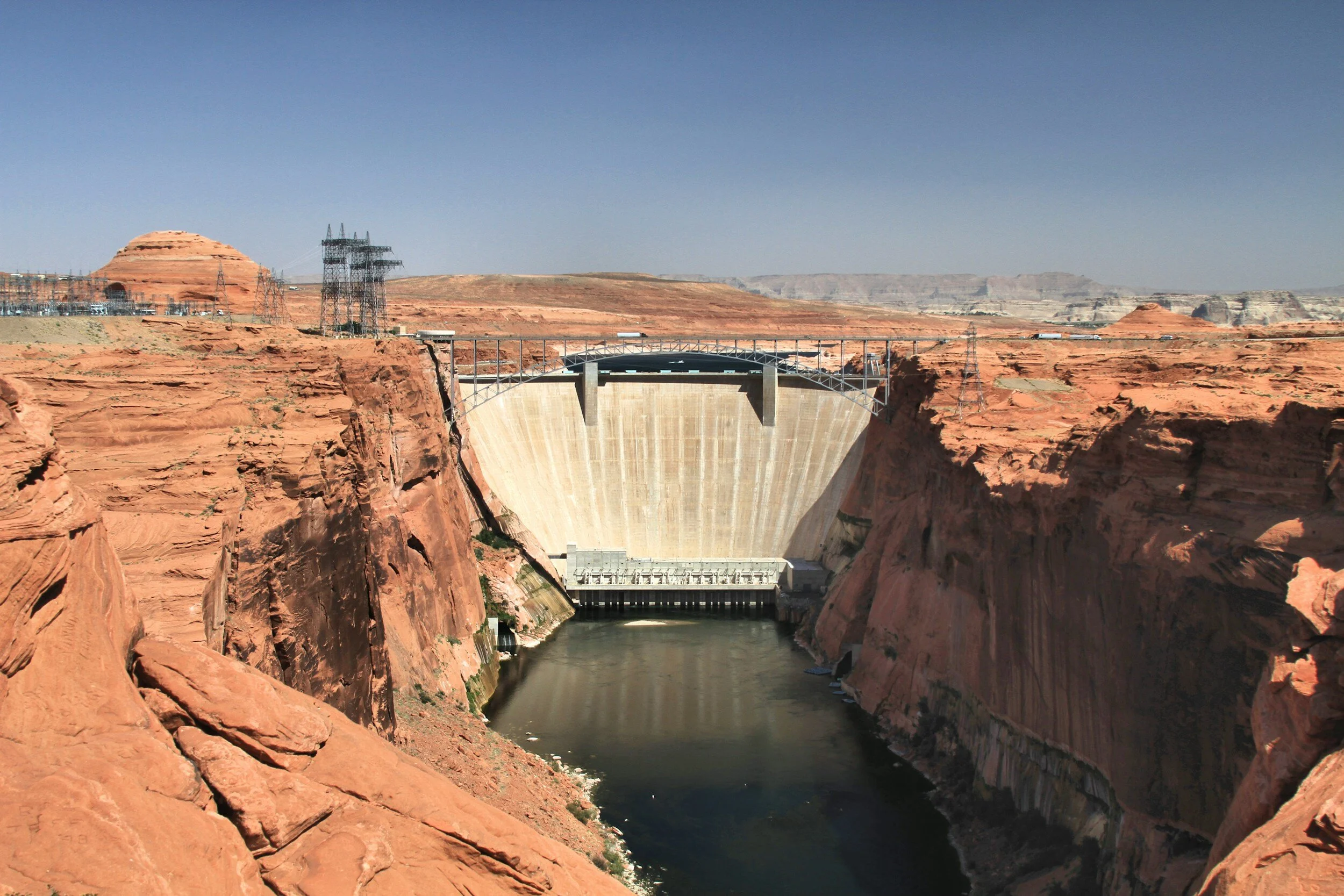
Infrastructure Inspection
Using UAVs for infrastructure inspection and monitoring represents significant advantages in regards to condition monitoring and maintenance planning. Drones are a perfect solution because they make those hard-to-reach areas very accessible at minimal risk. They also offer great flexibility for wide area coverage with a lower cost. Our remotely piloted, multi sensor aerial platforms make infrastructure inspection efficient and highly effective. We provide detailed visual inspection, 3D mapping, and thermal imaging of most industrial infrastructure.
Ready to take off?
Take the next step to fulfill your data collection needs - contact us today!
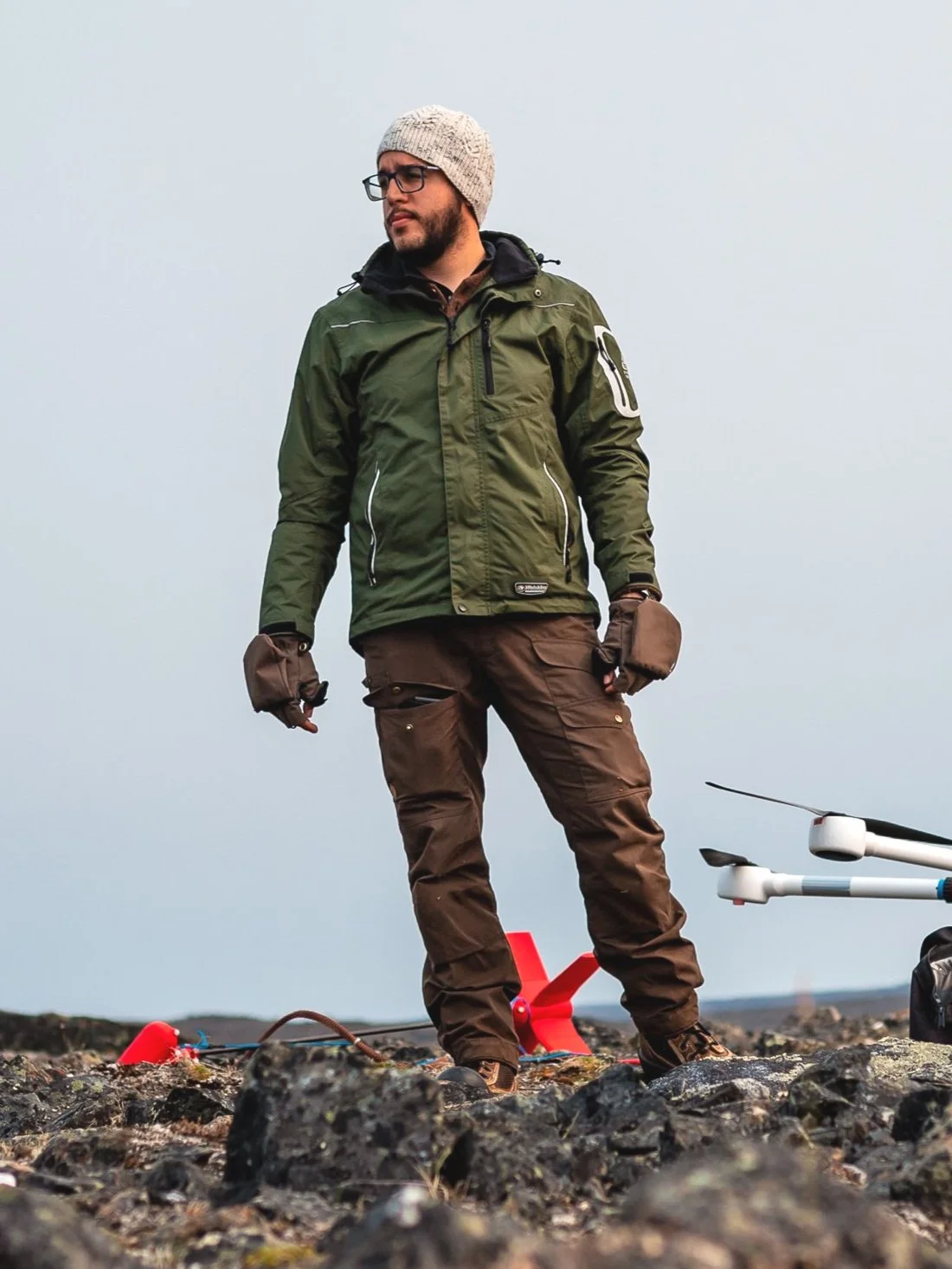
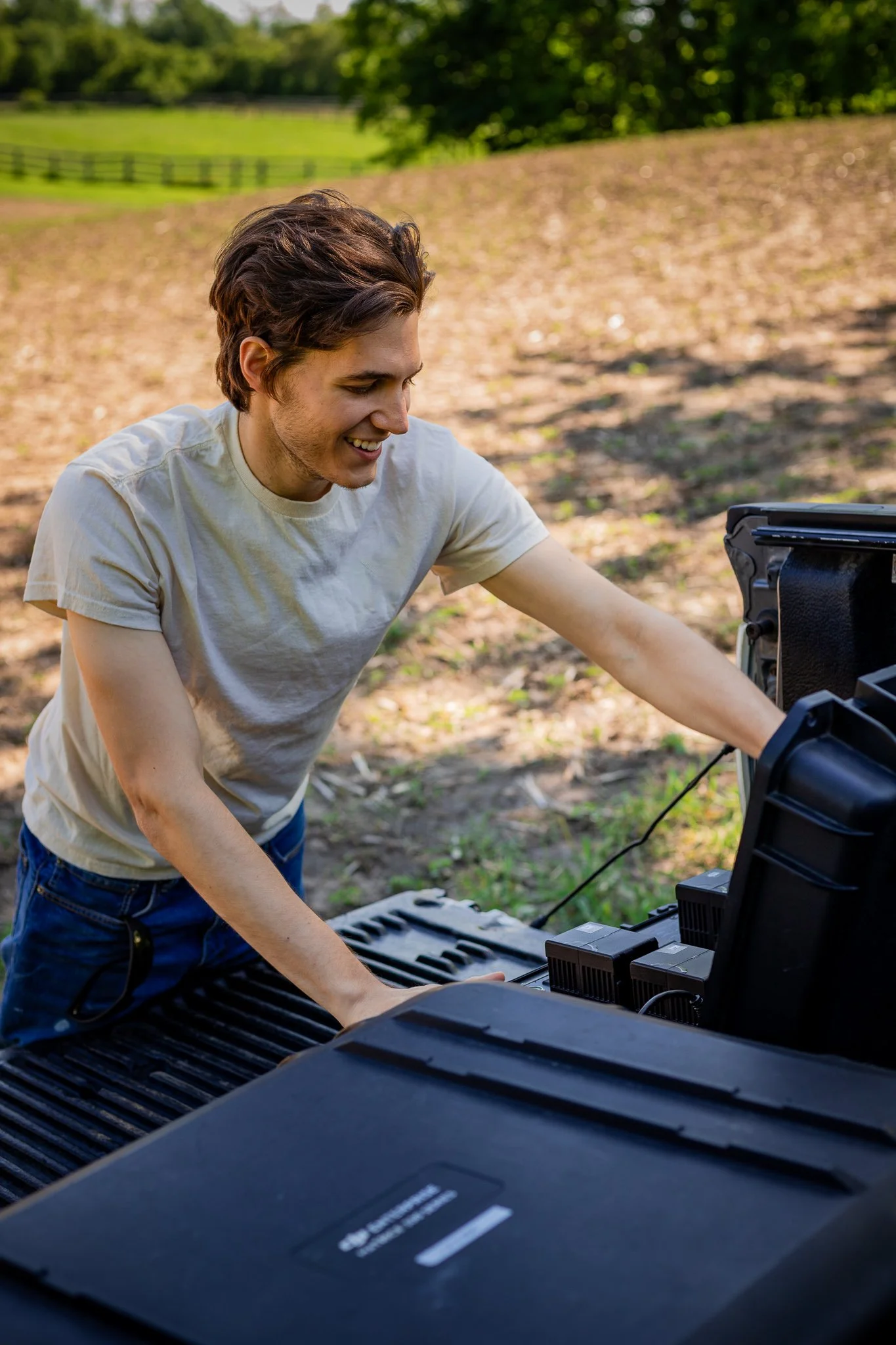
Our Team
-

Connor Catenaro
Founder
-
Amadeus Commisso
Co-Founder
-
David Pecile
Drone Pilot